Getting to know Arlington
The Rosslyn–Ballston corridor runs east to west. Crystal City and Pentagon City sit farther south, near Reagan National Airport. Shirlington and Columbia Pike offer other shopping and dining centers, with different transit options.
- Rosslyn–Ballston
- An east–west corridor of urban villages.
- Farther south
- Crystal City and Pentagon City sit near Reagan National Airport.
- Other local centers
- Shirlington and Columbia Pike offer different dining and transit options.
Postal areas, community boundaries, and school boundaries do not align.
Explore the areas
Compare four starting points for your search.
- Homes
- High-rise and mid-rise condos, townhomes, apartments, and nearby detached-home pockets.
- Look into
- Walk to the station entrance and check parking rights.
- Homes
- Condominiums and rental towers dominate, with townhomes and detached homes in adjacent areas.
- Look into
- Visit during busy travel hours and ask about nearby construction.
- Homes
- Older detached homes, renovated properties, additions, and substantial infill construction.
- Look into
- Review additions, drainage, and the upkeep of the lot.
- Homes
- Condos, garden communities, townhomes, duplexes, and detached houses.
- Look into
- Check the bus route and crossings to your regular destinations.
Orientation map · numbered areas are approximate
Rosslyn–Ballston corridor
Transit-oriented urban villages with rail, retail, and employment access.
Homes: High-rise and mid-rise condos, townhomes, apartments, and nearby detached-home pockets.
Look into: Walk to the station entrance and check parking rights.
Map sources & boundaries
Arlington County: January 1, 2026 official boundary. Numbered areas are approximate orientation points, not official subarea boundaries. Postal and school boundaries may differ.
- Fairfax County GIS — selected public parks ↗
- U.S. Census TIGERweb boundaries (January 1, 2026) ↗
- U.S. Census TIGERweb roads ↗
- U.S. Census TIGERweb water bodies ↗
- Fairfax County GIS — Metro routes, stations and W&OD Trail ↗
- Metropolitan Washington Airports Authority ↗
Road · dashed gold line: Metro · dotted green line: trail · blue: water · green: park
Homes and lots
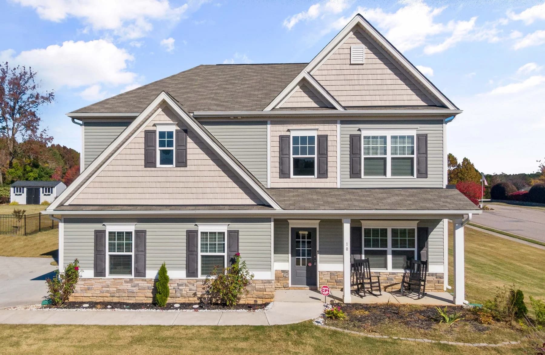
Established neighborhoods
Brick Colonials, ramblers, Cape Cods, and newer infill beyond the Metro corridors.
Infill & outdoor space
Compare lot use, drainage, and nearby construction.
Condos & townhomes
Review reserves, planned building work, and parking rights.
Everyday life
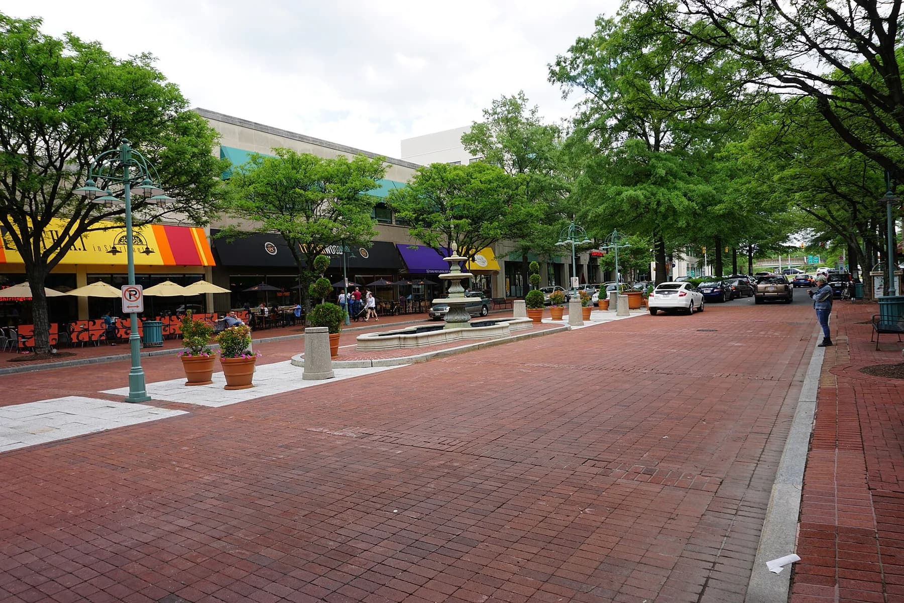
Errands & local life
Metro corridors and Shirlington offer different daily routines.
Clarendon, Ballston, Crystal City, and Pentagon City put errands near housing and transit. Shirlington has a compact restaurant center; other neighborhoods may mean driving for groceries.
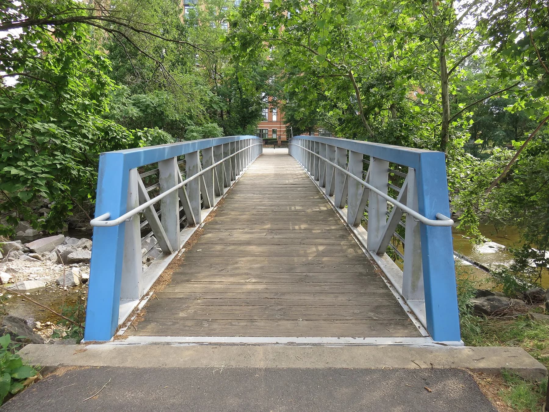
Parks & time outdoors
Four Mile Run and neighborhood parks and trails.
Four Mile Run adds a green corridor beside Shirlington; compare nearby parks and trails with your weekly routes.
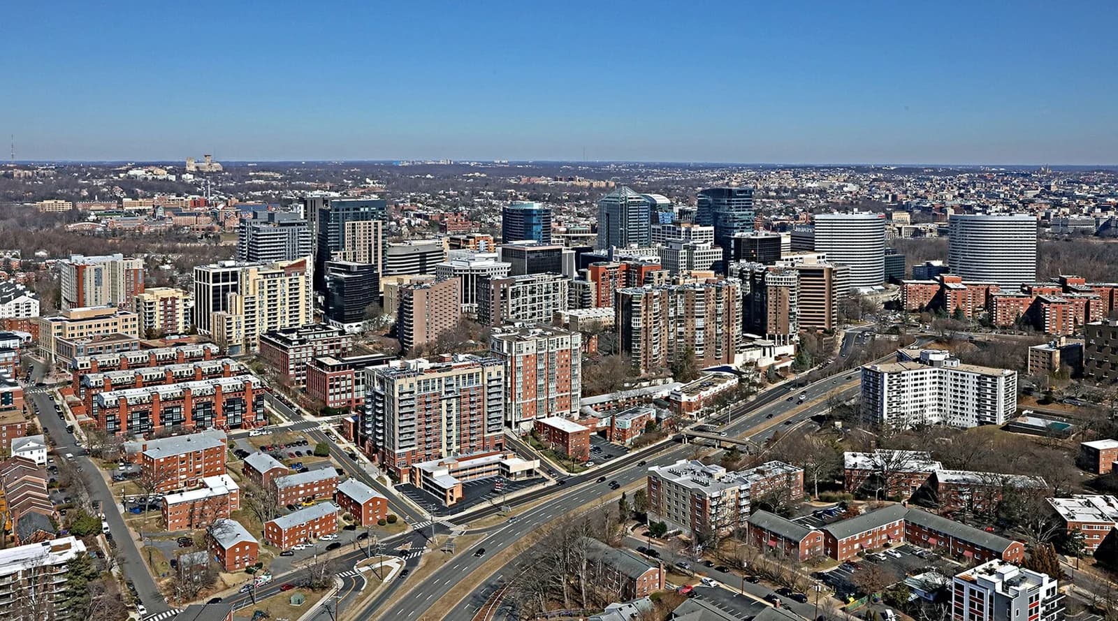
Your actual commute
Compare Metro, bus, and the walk from home.
Metro and bus options. Test the route from the home at your travel times.
Schools
Arlington Public Schools serves the county. Verify the full address and school year.
Arlington Public Schools serves the county. Use the APS address lookup for the school year you need; option programs have separate admission processes. Ask the district about any boundary or transportation changes.
Before you offer
- Walk the route to Metro or your regular bus stop.
- Visit at a busy time to assess road, aircraft, or evening noise.
- Confirm parking and planned association work before offering.
Regional market context
Regional figures provide background. Compare similar local homes before judging a specific property.
These figures cover the NVAR region, not this neighborhood alone. Compare recent sales of similar local homes, their condition, and current competition before making a pricing decision.
Common questions
Is Arlington, Virginia a city?
No. Arlington is a county with no incorporated towns or cities inside it. Real estate searches commonly use Arlington as the city name, but county corridors and named neighborhoods provide more useful location context.
Which Arlington neighborhoods have Metro access?
The strongest direct access is along the Rosslyn–Ballston and Richmond Highway corridors, including Rosslyn, Courthouse, Clarendon, Virginia Square, Ballston, Pentagon City, and Crystal City. Walking distance and station entrance access should be verified from the exact property.
What types of homes are available in Arlington?
Arlington includes high-rise and mid-rise condominiums, garden-style units, townhomes, duplexes, older detached homes, renovated houses, and new construction. The mix changes significantly between transit corridors and lower-density residential areas.
Sources & update notes
Published June 27, 2026. Updated October 1, 2026. Market reports retain their own dates and geographic coverage.
This guide covers Arlington County, Virginia. Neighborhood names help narrow a search, but they do not define school assignments.
- Arlington County Neighborhoods ↗ Arlington County
- Rosslyn–Ballston Corridor ↗ Arlington County
- Arlington County Transit ↗ Arlington County
- Arlington County Parks ↗ Arlington County
- APS Maps and Boundaries ↗ Arlington Public Schools
- Arlington County QuickFacts ↗ U.S. Census Bureau
- Northern Virginia Market Report Methodology ↗ Liza Eller Homes
Photographs show the identified local places; see dates and image licenses below. Maps use separate geographic sources and do not infer boundaries from photographs.
Photo credits & dates
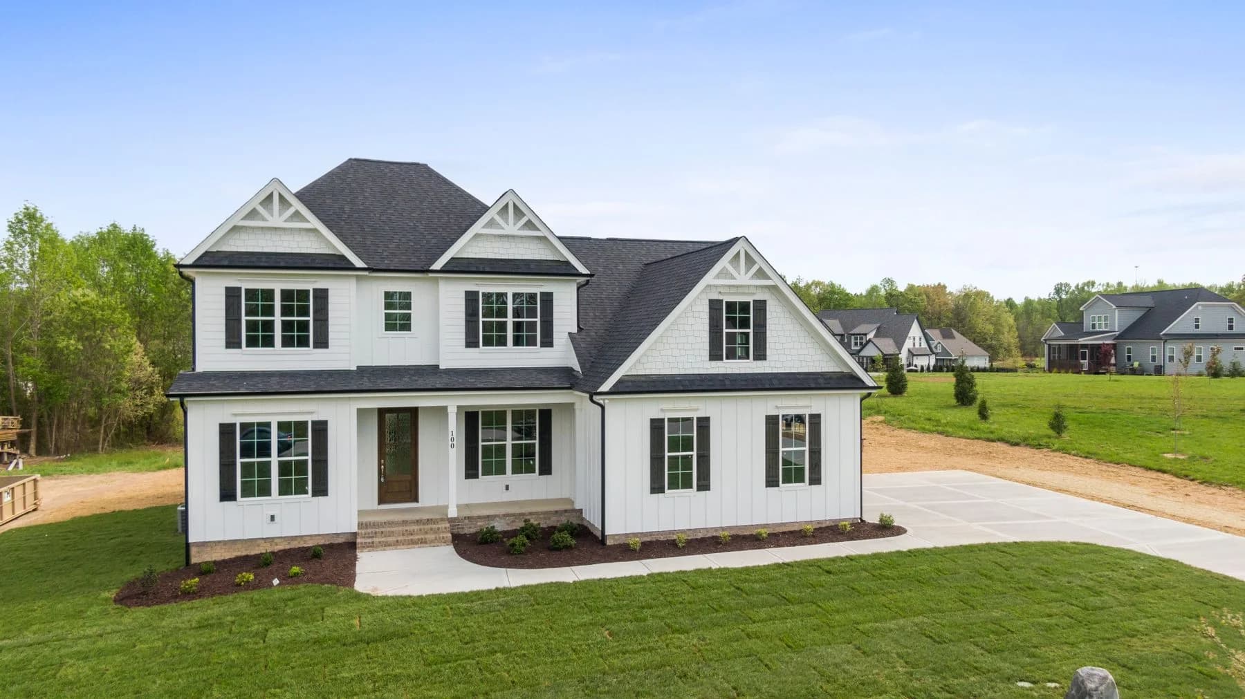
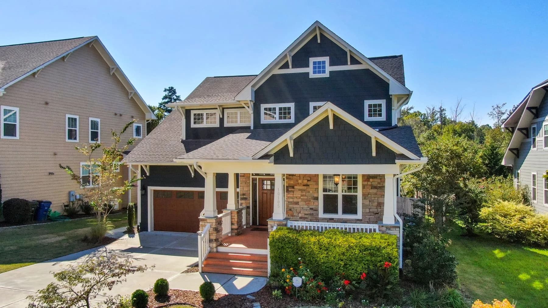
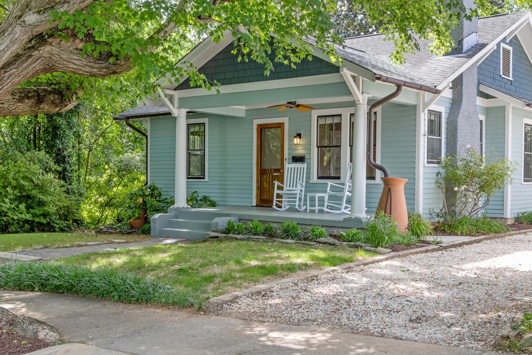
Home inspiration photos illustrate architecture, not homes in the named community, available listings, or Liza Eller sales. Local photographs identify their locations in the captions.
- Porch house beneath mature trees — Curtis Adams · Pexels License. Taken: 2024-04-30. Resized and converted to WebP; responsive display crops. Architectural inspiration only.
- Gabled two-story house with a full-width front porch — Curtis Adams · Pexels License. Resized and converted to WebP; responsive display crops. Architectural inspiration only.
- Fountain on Campbell Avenue; Shirlington, Arlington, VA; 2014-05-17.jpg — Emw · CC BY-SA 3.0. Taken: 2014-05-17. Resized and converted to WebP; responsive display crops. No generated scenery or compositing. The adapted image retains this license.
- Jennie Dean Park footbridge 2020b.jpg — Antony-22 · CC BY-SA 4.0. Taken: 2020-07-16. Resized and converted to WebP; responsive display crops. No generated scenery or compositing. The adapted image retains this license.
- ArlCoRosslynVA-4740-022022.jpg — Duane Lempke · CC0. Taken: 2022-02-20 02:19:12. Resized and converted to WebP; display crops vary by screen size. The adapted image retains this license.
- White gabled home with black shutters and a broad lawn — Curtis Adams · Pexels License. Resized and converted to WebP; responsive display crops. Architectural inspiration only.
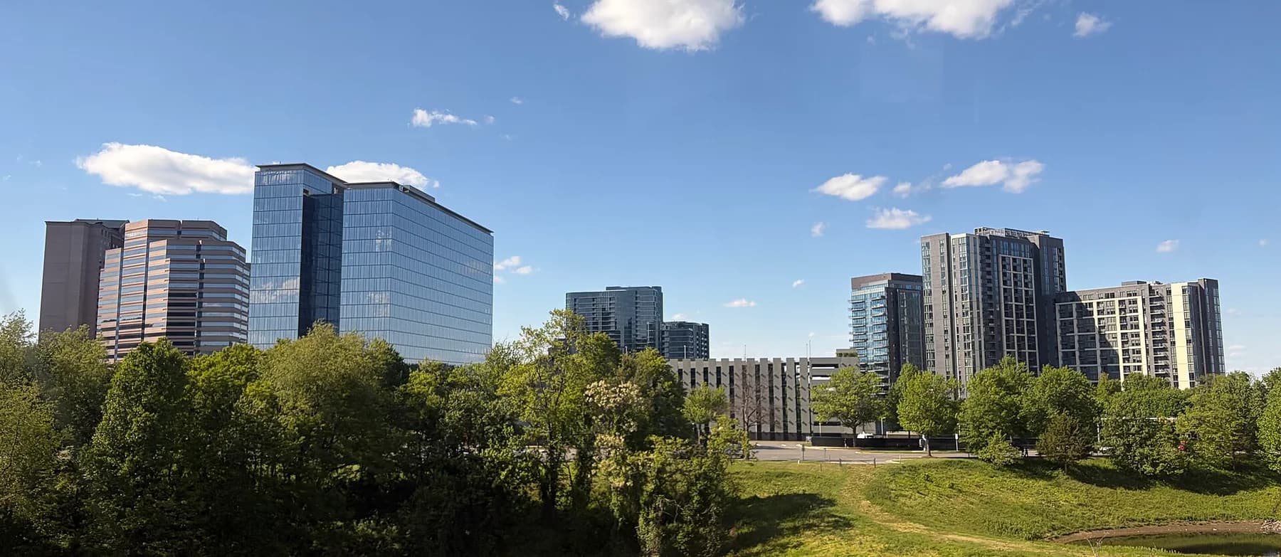
- Tysons skyline.jpg — Dclemens1971 · CC BY 4.0. Taken: 2026-05-03. Resized and converted to WebP; responsive display crops. No generated scenery or compositing. The adapted image retains this license.
- Blue Craftsman-style home in Raleigh — Curtis Adams · Pexels License. Taken: 2020-10-01. Resized and converted to WebP; responsive display crops. Architectural inspiration only.